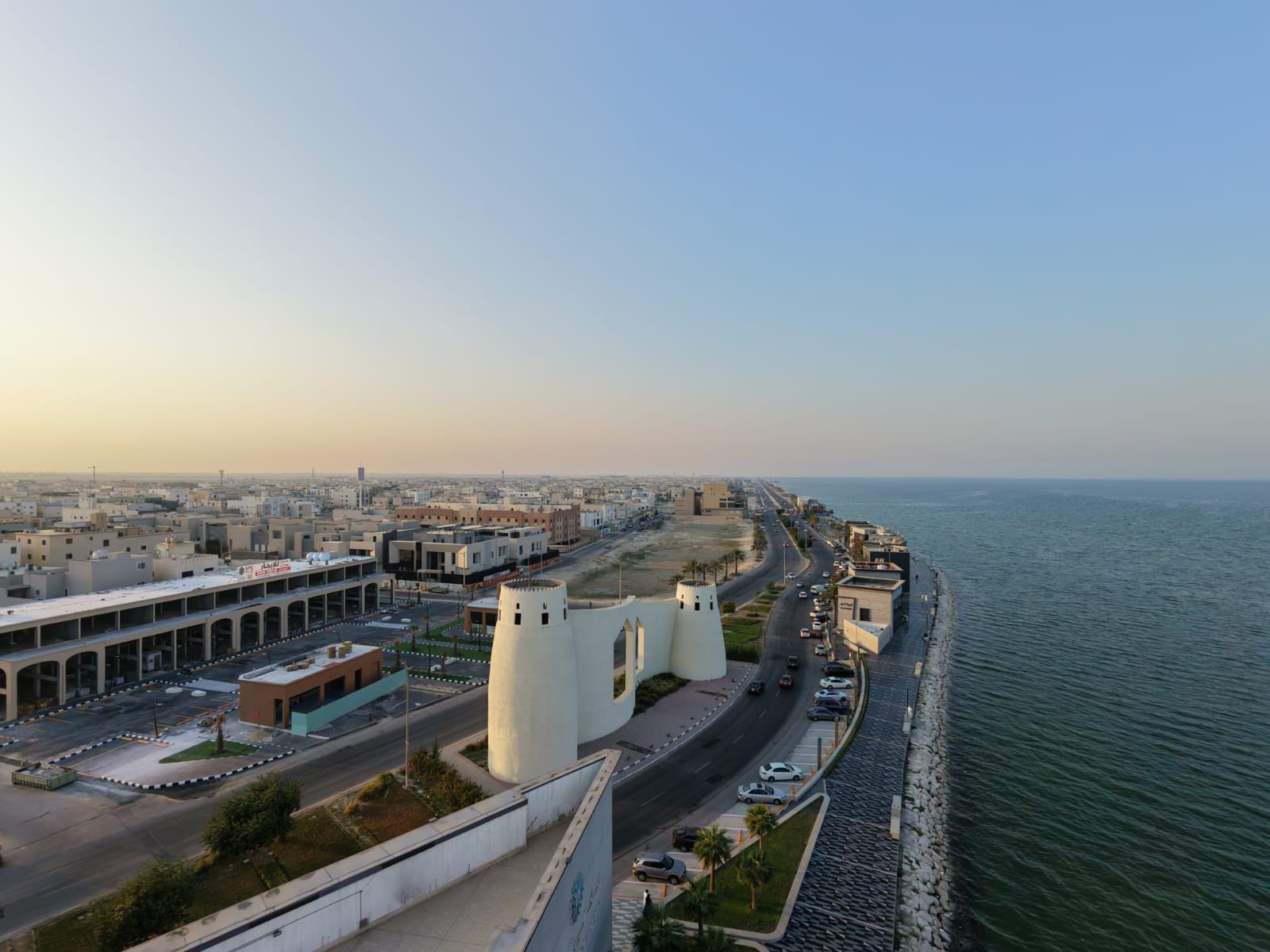
Drone Inspections and Mapping: Safer, Faster, Cheaper
· 4 min read · Madar Drone
Sending a person up a ladder, a tower or a roof takes time, equipment and risk. A drone can capture the same view, often in more detail, while everyone stays safely on the ground.
Inspections
Roofs and façades: spot cracks, leaks, damaged tiles and failed sealants without scaffolding.
Towers and tall structures: close-range zoom images of antennas, bolts and joints.
Solar farms: thermal cameras show overheating or failed panels as bright spots.
Buildings and tanks: regular, repeatable flights let you compare condition over time.
Mapping and surveying
By flying a planned grid and taking overlapping photos, a drone produces:
Orthomosaic maps: a single, accurate top-down image of the whole site.
3D models: for planning, presentations and progress records.
Volume measurements: how much sand, gravel or soil is in a stockpile.
Progress monitoring: the same flight each week shows exactly what changed.
Why companies switch to drones
Safety: no working at height for routine checks.
Speed: large sites are covered in a fraction of the time.
Less downtime: operations can often continue during the flight.
Better records: high-resolution images you can review, share and compare later.