

📸
Aerial Photography & Video
Cinematic 4K/6K footage and high-resolution stills for real estate, tourism, events and advertising.
- Edited highlight reels
- Raw files included
- FPV fly-throughs
Cinematic aerial media, precision mapping and safe infrastructure inspections — delivered fast by certified pilots with enterprise-grade drones.
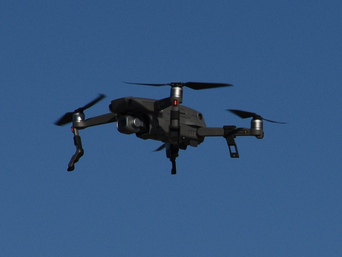
From marketing visuals to engineering-grade data, every mission is planned, flown and processed by our in-house team.
Cinematic 4K/6K footage and high-resolution stills for real estate, tourism, events and advertising.
Orthomosaics, 3D models, contour maps and volumetric calculations with centimetre-level RTK accuracy.
Safely inspect roofs, towers, solar farms, pipelines and bridges — no scaffolding or downtime required.
Radiometric thermal surveys to detect heat loss, electrical faults, leaks and failing solar panels.
Multispectral crop health analysis (NDVI), precision spraying and irrigation planning for higher yields.
Live aerial coverage of weddings, sports and festivals — plus custom drone light show choreography.
Tell us about your site and goals. We recommend the right aircraft, sensors and deliverables.
We handle airspace authorisation, risk assessment, weather checks and automated flight paths.
Certified pilots fly the mission safely and efficiently, with minimal disruption to your operations.
Edited media, maps or reports delivered via secure cloud link — typically within 48–72 hours.
Starting prices — every project gets a custom quote based on location and scope.
from $299
Perfect for real estate listings & small properties.
from $799
For commercial projects, marketing & construction progress.
Custom
Surveys, inspections & recurring multi-site programs.
“The aerial video doubled the engagement on our listing. Professional, on time and easy to work with.”
“Weekly progress maps saved our site team hours of manual surveying and kept stakeholders aligned.”
“Their thermal inspection found 14 faulty panels in a single morning. Excellent, actionable report.”
Yes. All pilots hold commercial drone certifications and every flight is covered by comprehensive liability insurance. Certificates are available on request.
Safety comes first. If wind, rain or visibility are outside safe limits we reschedule at no extra cost.
Yes. We manage all airspace authorisations and coordinate with local authorities when flying in controlled areas.
Photos and videos are usually delivered within 48–72 hours. Mapping and inspection reports typically take 3–5 business days.
We operate across the region and travel nationwide for larger projects. Contact us with your location for a quote.
Tell us about your project and we'll send a tailored quote within one business day.